File:Map-MeasureDistance.jpg
Jump to navigation
Jump to search
No higher resolution available.
Map-MeasureDistance.jpg (600 × 450 pixels, file size: 27 KB, MIME type: image/jpeg)
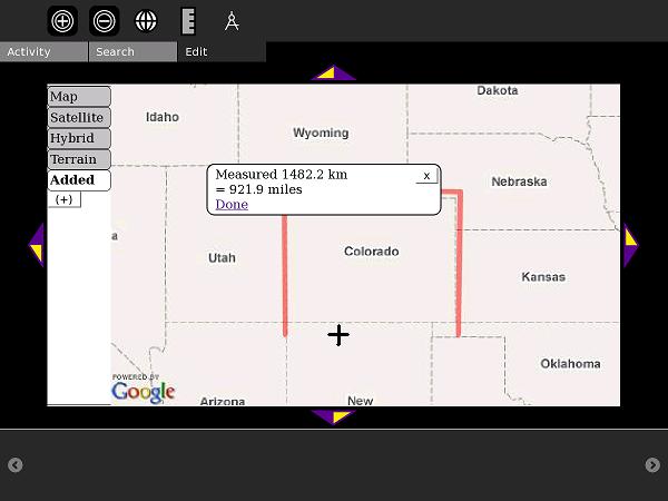
Measuring a polyline-distance - in this case, the perimeter of Colorado
File history
Click on a date/time to view the file as it appeared at that time.
| Date/Time | Thumbnail | Dimensions | User | Comment | |
|---|---|---|---|---|---|
| current | 23:10, 25 August 2009 | Error creating thumbnail: Unable to save thumbnail to destination | 600 × 450 (27 KB) | Imported>Ndoiron | Measuring a polyline-distance - in this case, the perimeter of Colorado |
You cannot overwrite this file.
File usage
The following 2 pages use this file: